Coastal Resilience
Let’s talk coastal resilience!
With over 3,400 miles of coastline, our state of Maine has the fourth largest coastline of any state in the U.S. Portland and South Portland have deep historical and cultural ties to the waterfront and depend upon the waterfront for recreation, economic opportunity, and transportation. Due to climate change, we are facing more frequent and intense precipitation, storm surges, and flooding; our sea level is rising, worsening this flooding; and as a result our shorelines are eroding. To effectively prepare for the climate crisis, we need to take action by building coastal resilience.
Building resilience means strengthening the ability of our communities to withstand the effects of climate change and bounce back after a climate event such as a major storm. Planning and preparing for the changes we know are coming will minimize the detrimental effect they have on our communities and ecosystems, leaving us stronger and more resilient to change.
The Cities can’t prepare for this future alone; the knowledge and experiences of community members are central in planning for coastal flooding.
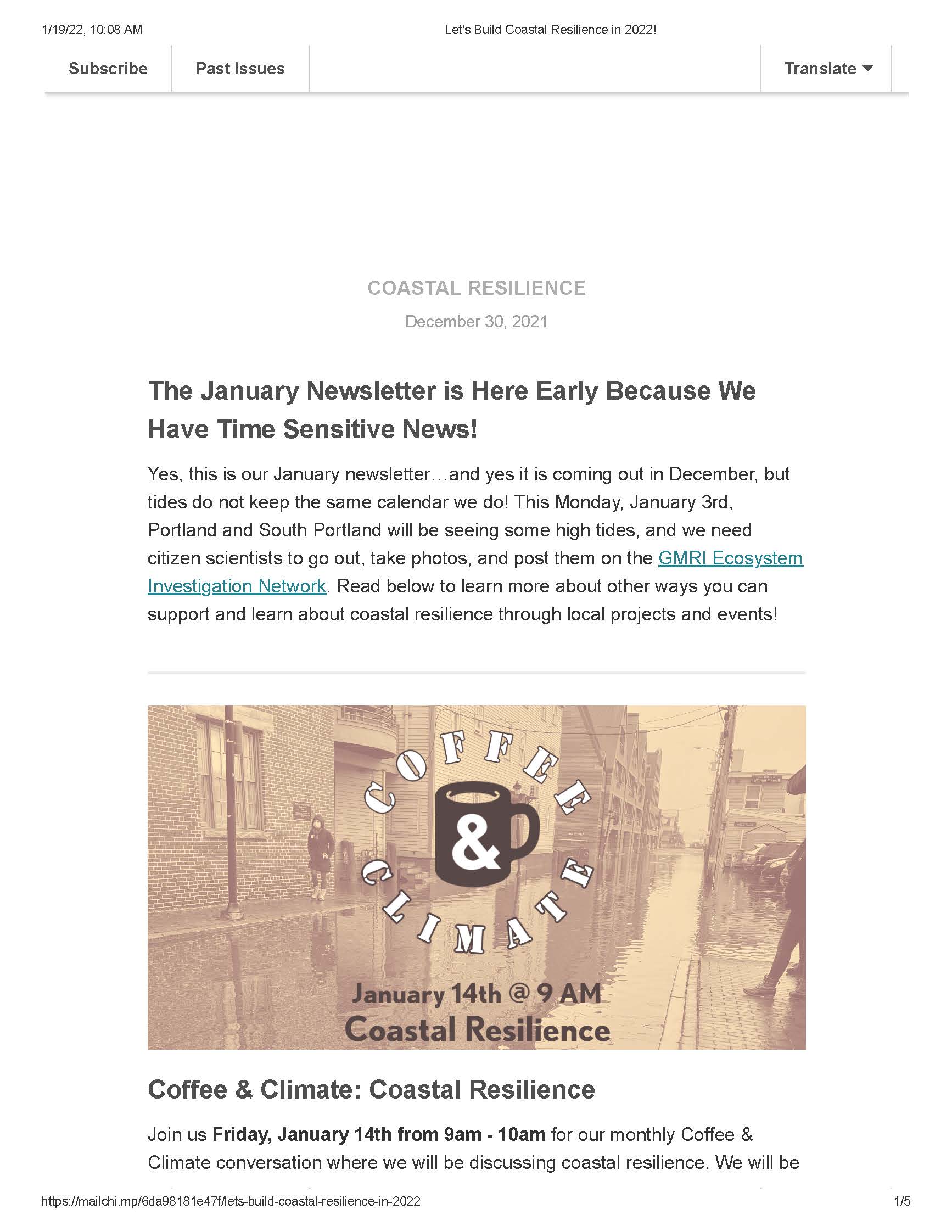
Look below to watch our January 2022 Coffee and Climate and read about current and ongoing coastal resilience initiatives!
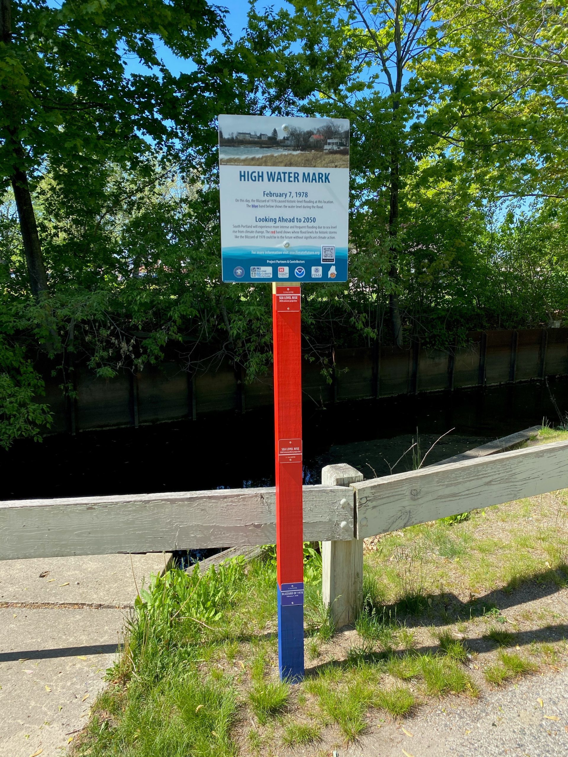
High Water Marks
High Water Marks in Portland and South Portland show where flood levels for a historic storm, like the Blizzard of 1978, could be in the future without significant climate action. Visit each location below to learn more and visualize potential flood levels in 2050.
Portland High Water Mark locations:
Fore River, Back Cove, Eastern Prom Trail, Portland Pier
South Portland High Water Mark locations:
Mill Creek, Bug Light Park, Willard Beach
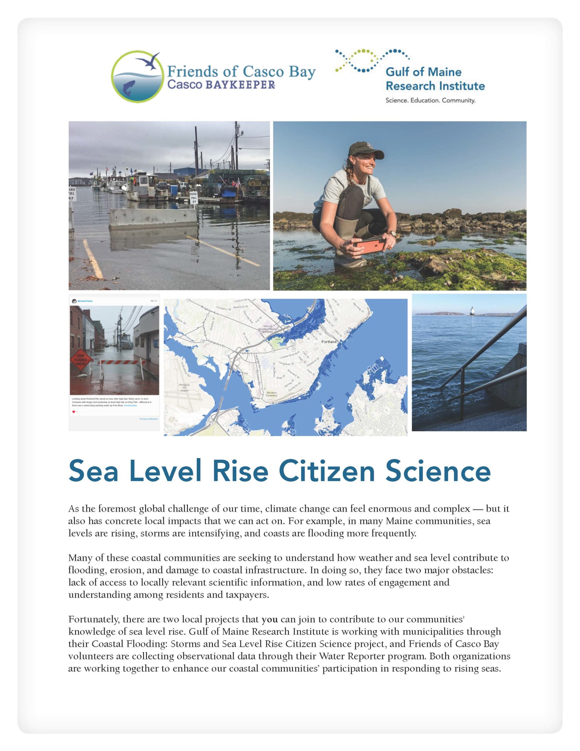
Coastal Flooding Citizen Science
This citizen science project, developed by the Gulf of Maine Research Institute, invites you to document water level and flooding impacts at coastal flood monitoring sites throughout Portland and South Portland. Pictures and observations will help inform city planning efforts and build a shared understanding of the ways in which our communities may be most vulnerable to coastal flooding.
Visit GMRI’s Ecosystem Investigation Network to begin collecting data.
Watch an informational webinar about how to begin collecting data:
What if you’re not in Portland or South Portland and want to help collect flood data?
Become a Friends of Casco Bay’s Water Reporter and collect data anywhere in coastal Maine.
Nature-based Solutions to Coastal Flooding: Climate Ready Casco Bay
Nature-based solutions involved the introduction or restoration of natural resources and systems–such as salt marshes, rain gardens, open space, or even rocks and seagrass–to mitigate the effects of climate change. This natural infrastructure protects our coastal communities from climate threats while also expanding and enhancing our natural spaces.
In November 2021, GPCOG was awarded $250,000 by the National Fish and Wildlife Foundation (NFWF) to pursue nature-based climate action in the Greater Portland region. GPCOG matched these funds through the support of the Gulf of Maine Research Institute, grants, and municipalities. Climate Ready Casco Bay is a two-year project working with eleven coastal communities, including Portland and South Portland, to find nature-based solutions to combat coastal flooding. This project aims to be a collaborative effort between the community members who will be affected by coastal flooding, and will include engagement with volunteers, city employees, elected officials, and community leaders. To learn more about the project, visit GPCOG’s website or contact Sara Mill-Knapp, smills-knapp@gpcog.org.